

America from Above
America Turns 250: A SAR View of the Nation
From the rugged coastlines of Maine to the deserts of the Southwest, from critical infrastructure hubs to remote natural landscapes, Umbra has assembled a first-of-its-kind collection of 250 high-resolution SAR images spanning all 50 states. Featuring five images from each state, this nationwide collection showcases the diversity of America through the lens of a system designed and built, in the United States. It’s a tribute to 250 years of American ingenuity.
These images also demonstrate the unique advantages of SAR, which sees through darkness, clouds, cover, and adverse conditions—providing reliable insight when other sensors cannot. Umbra’s system has set the standard for resilience, and the result is a consistent view of the world that supports national security, intelligence, science, commercial, and civil missions.
Explore the collection and discover how Umbra’s satellites are providing a clearer view of the nation they were built to serve.
The Places That Power America
Each image represents more than a location—it represents the power of enduring space capability. From ports and transportation networks to energy infrastructure, industrial facilities, agricultural regions, and urban centers, this collection highlights the places that keep America moving. Together, these 250 images tell a larger story: one of innovation, resilience, and the value of American-built technology delivering dependable intelligence from orbit.
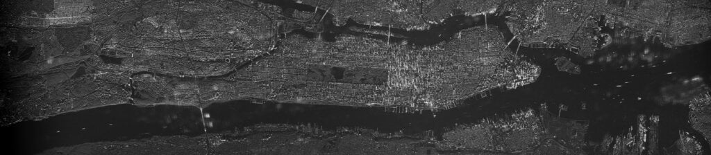 New York City 40.780 Lat | -73.969 Lon | 0.5M Scan | 1 Look
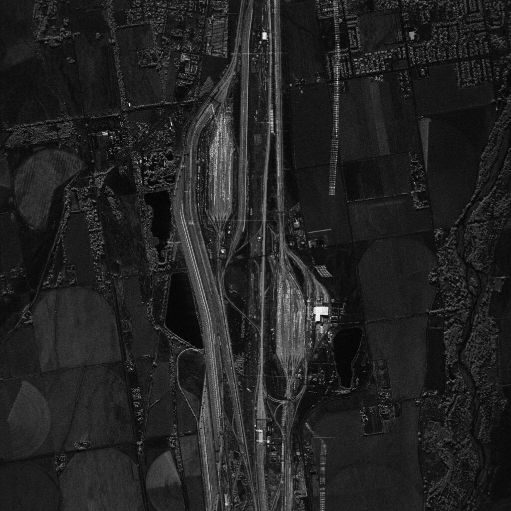 Bailey Yards 41.150 Lat | -100.830 Long | 0.5M Spotlight | 4 Looks
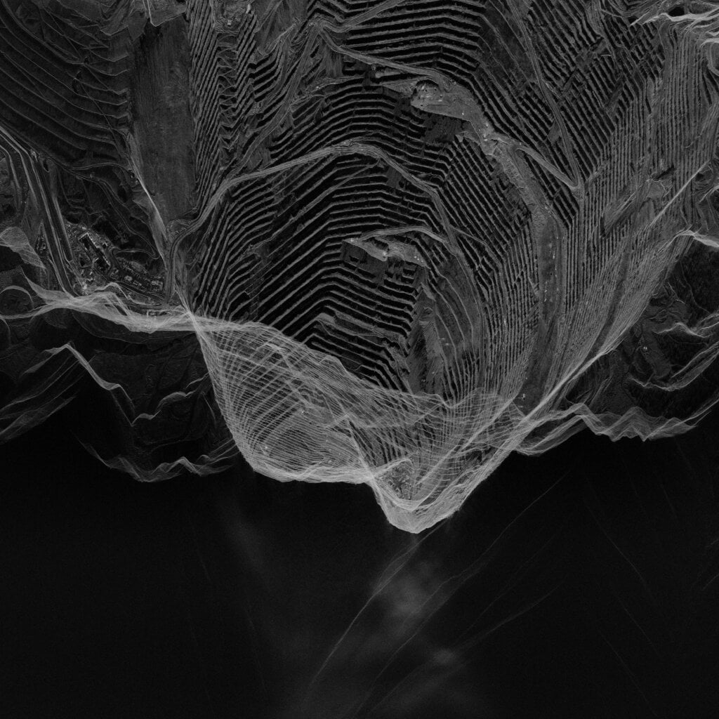 Bingham Canyon Mine 40.522 Lat | -112.146 Long | 0.5M Spotlight | 4 Looks
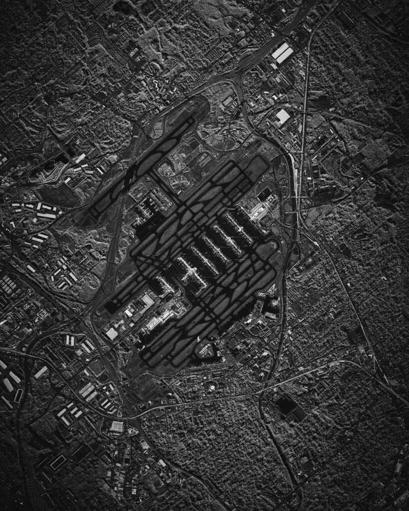 Atlanta Airport 31.188 Lat | -81.341 Long | 0.5M Spotlight | 4 Looks
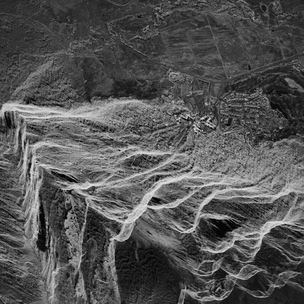 Jackson Hole 43.595 Lat | -110.837 Long | 0.5M Spotlight | 4 Looks
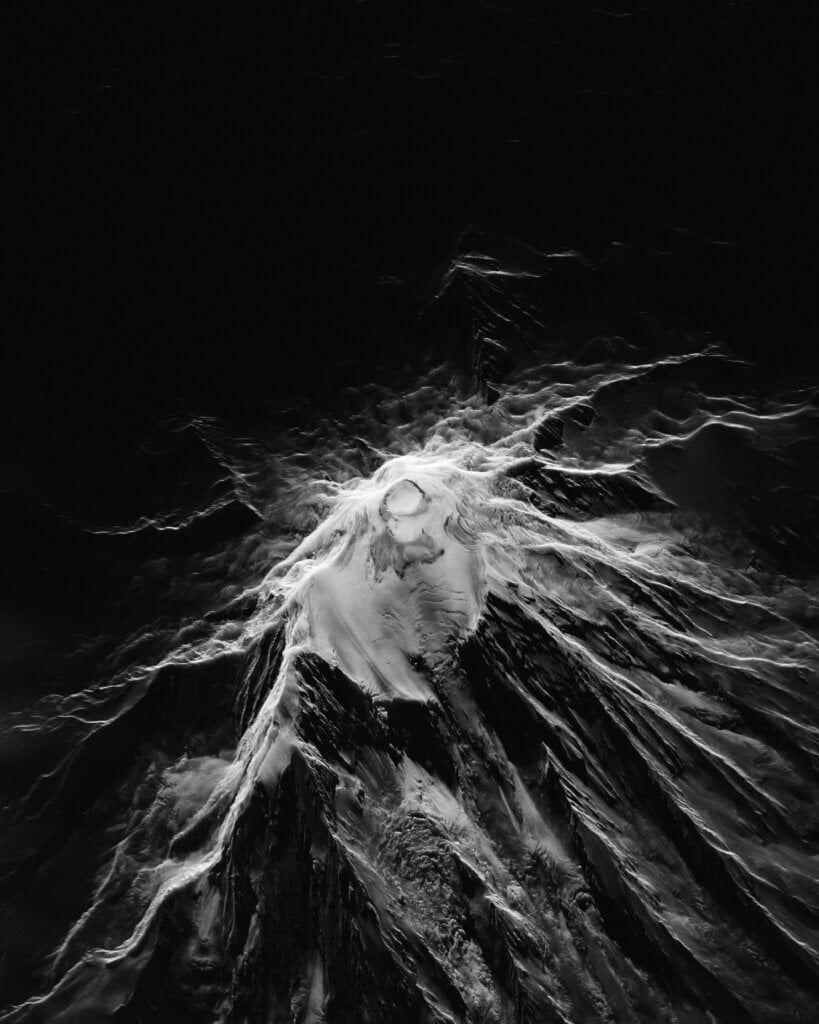 Mount Rainer 46.852 Lat | -121.760 Long | 1.0M Spotlight | 2 Looks